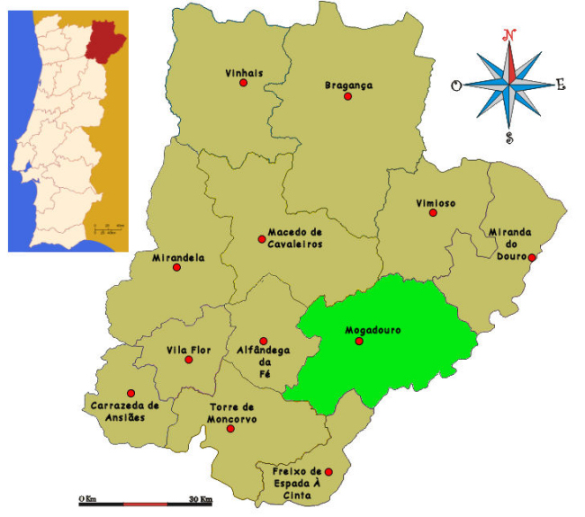
| Mogadouro is located 90 Km away from the capital of district, Bragança. It has an area of 757,98 km² and 9.587 inhabitants (2011). |
|
||
|
|
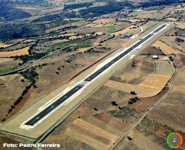
The airfield is located 10Km North of the town, following the national road 219, heading to Azinhoso village. | ||
|
Runway: Coordinates: N41º 23' 45" W6º 23' 01" Lenght: 1205 meters with displaced thresholds Width: 22 meters QFU: 03/21 Surface: Asphalt Altitude: 2344 ft (713 meters) AMSL Wind sock: 2 Circuits: Standard Radio: 120.10Mhz Airfield director: (+351) 917 825 782 |
|
||
|
Entry/Exit points |
|||
|
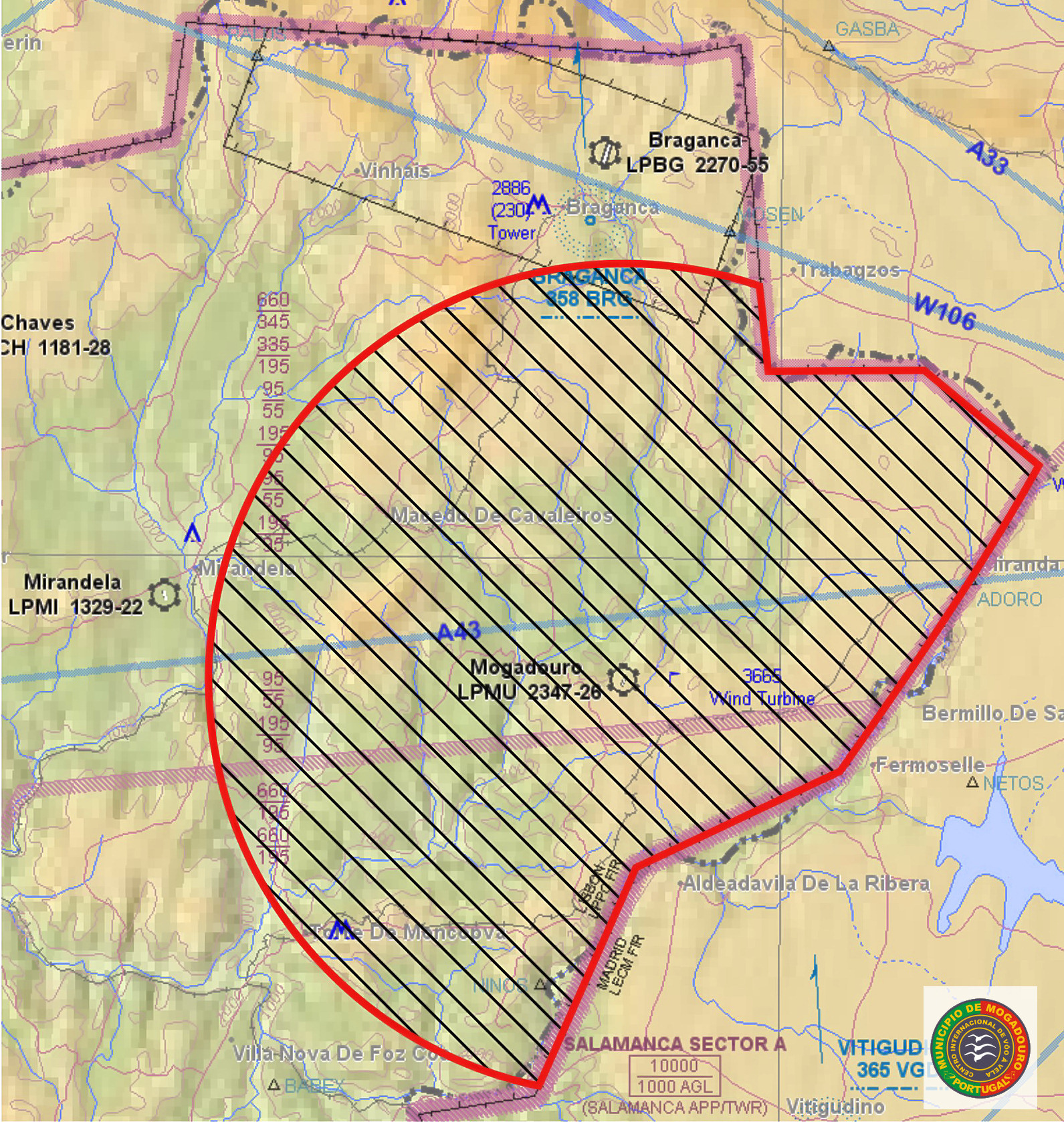
November point: N41°27'40.72" W006°34'45.38" (Vertical with Algoso castle) Sierra point: N41°20'17.91" W006°43'12.78" (Vertical with Mogadouro castle)
|
|||
|
|
Airspace: Mogadouro Soaring Centre is one of the best soaring spot in Portugal. We have unrestricted airspace, from the ground to FL095 (class G airspace). During the soaring season we have an active NOTAM referring glider activity in an area of 16nm arround the field, from ground level to FL095. The weather and geographic conditions are excellent, making thermal flight, orographic and wave flight an amazing experience. |
||
|
This page doesn't replace the official publications such as the VFR Manual . |
|||